mkgeo-gallery
Experiments in visualizing geographic data. Made with mkgeo and public data.
View on GitHub
Zip Code Tabulation Areas (ZCTAs)
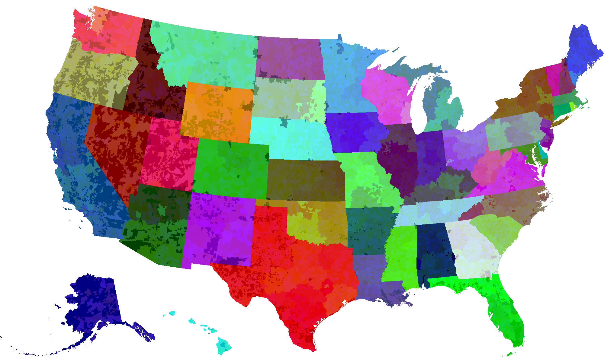
Counties
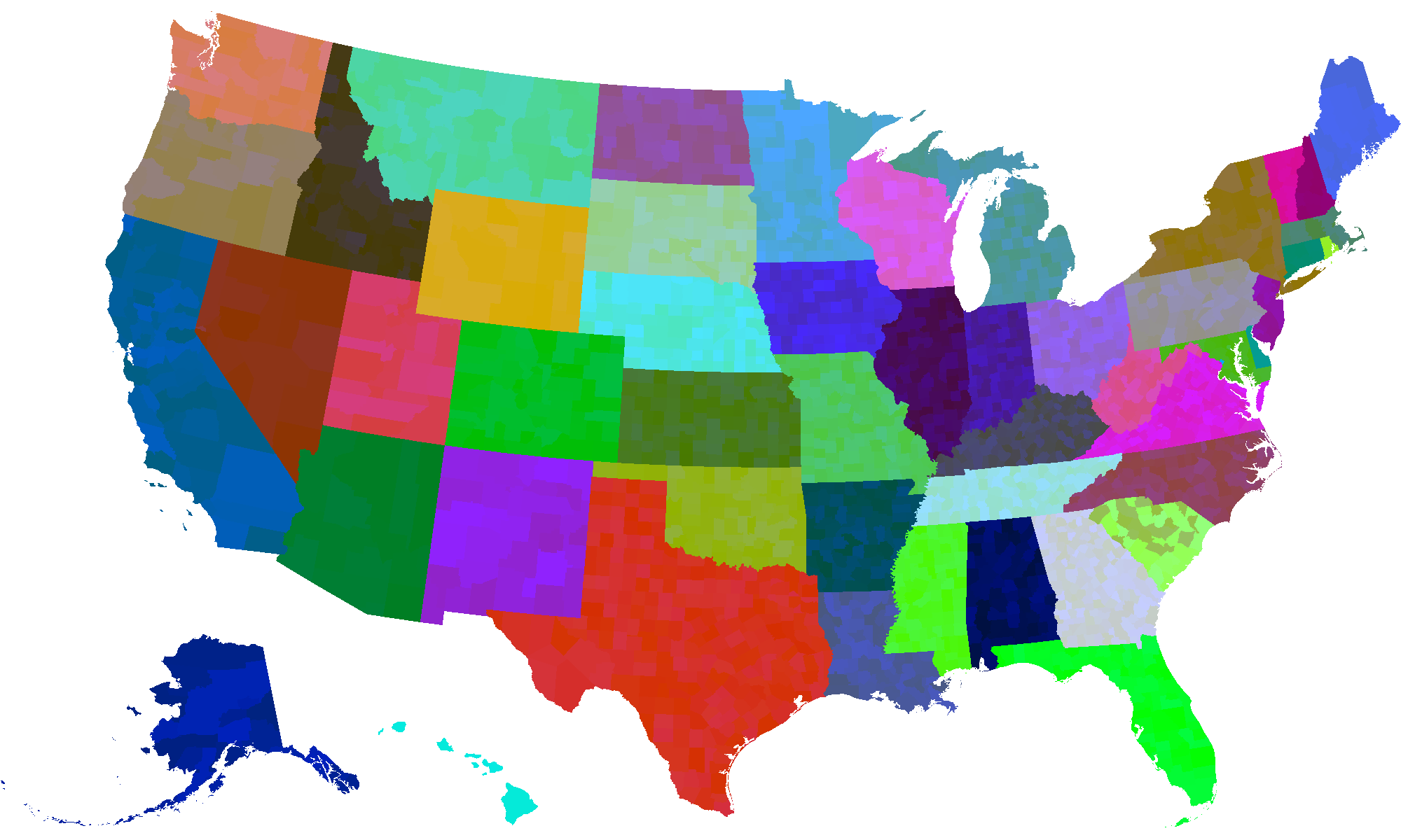
Congressional Districts (115th congress)
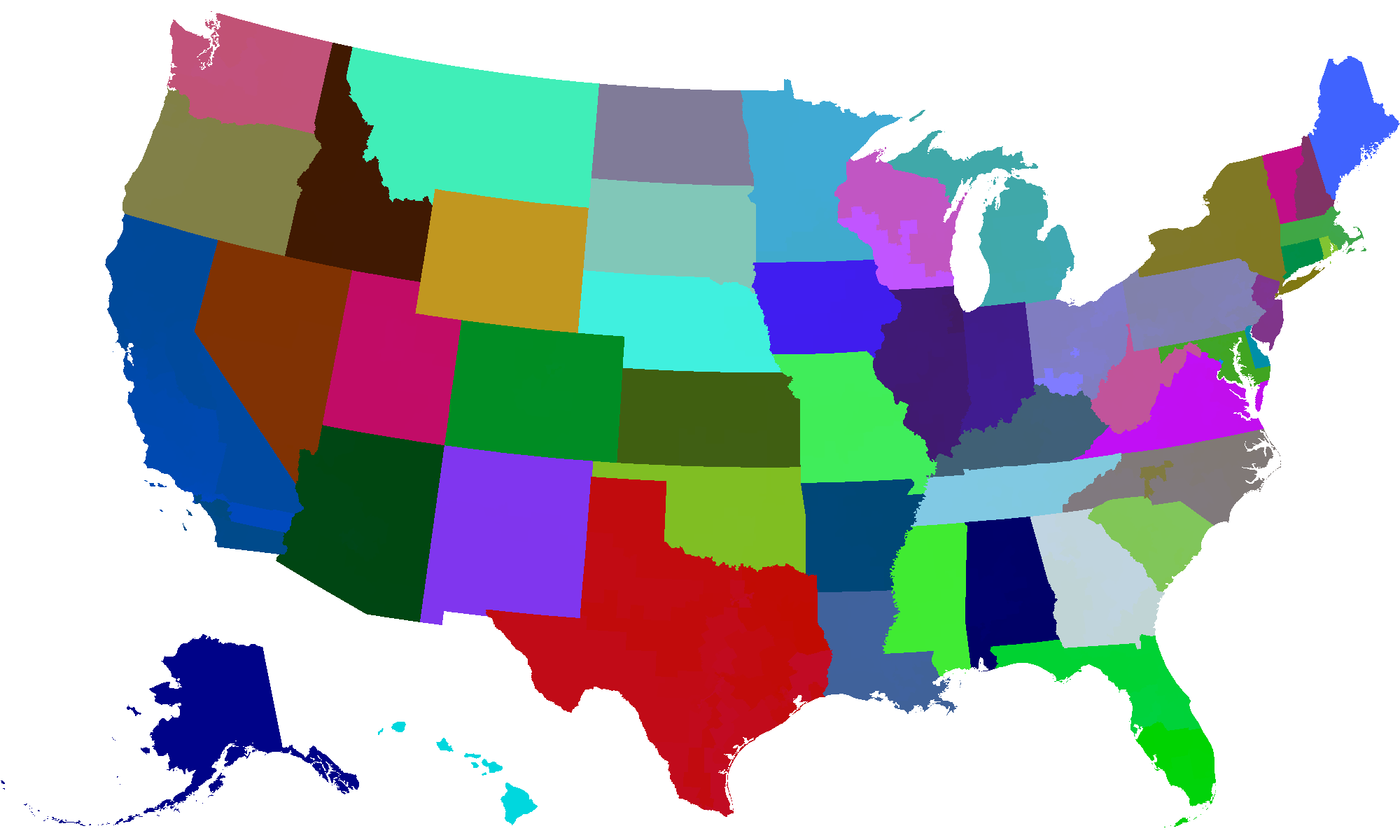
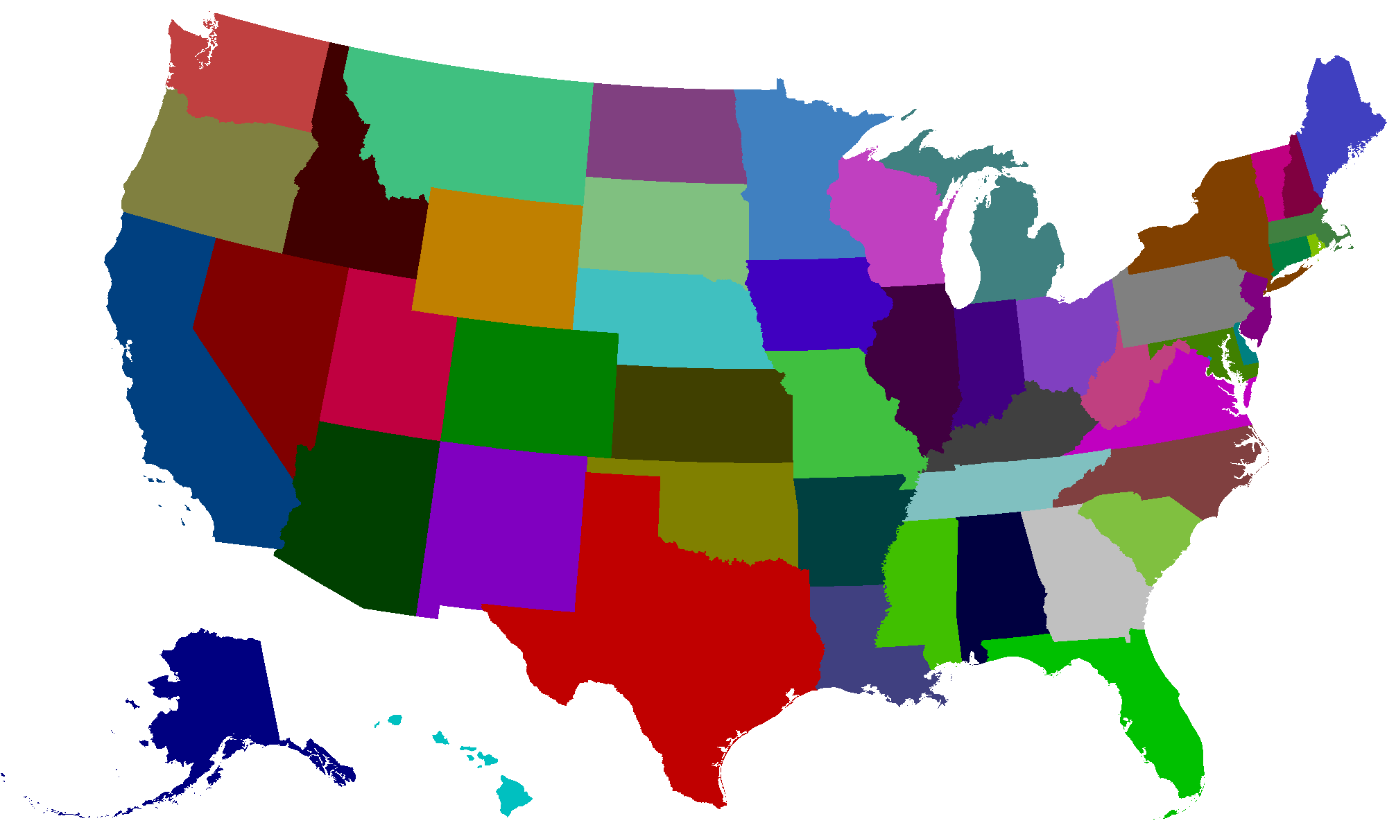
States